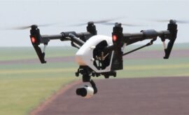
Data collection, surveying and creating maps and models can be a complicated process. This new course will provide a framework and example data to assist you to streamline this and is a great next step for those who have completed the Drones in Agriculture course. To register visit the Tocal Website or download the course…
Read more
Farm Mapping and Data Collection with Drones now available